top of page

0 1 5 3 0 5 1 8 5 1 8
You are currently on our UK site
Search postcode, location or OS reference:


Instant access, to up-to-date, highly accurate geographic data on the Bluesky Mapshop
Search


Bluesky International announced as supplier for new Ordnance Survey framework
Bluesky International, a leading UK aerial survey and mapping company, has fought off stiff competition to be named as one the selected...
Oct 18, 20222 min read


Bluesky Takes to the Skies to Capture More Oblique Views of UK Cities
Aerial mapping company Bluesky International, is using one of the world’s most advanced hybrid sensors to expand its library of...
Sep 21, 20222 min read
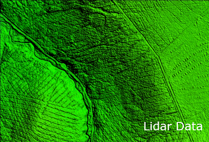
LiDAR and Digital Surface Models from Bluesky Aid Wind Farm Planning
An Irish hydrological consultancy firm is saving significant time and expense by using LiDAR datasets from Bluesky International, an...
Sep 8, 20222 min read


An Insight into the Life of a LiDAR Supervisor
We caught up with our LiDAR Supervisor, Ned Chisholm, to find out more about his role at Bluesky. How long have you worked for Bluesky?...
Sep 1, 20222 min read


Bluesky Celebrates Extension to Multi Million Pound Government Mapping Contract
Aerial mapping company and consortium lead Bluesky International, in partnership with Getmapping plc, has been granted a contract...
Aug 15, 20222 min read


Bluesky Reveals Growing Appetite for Geospatial Data
Aerial mapping company Bluesky International, has revealed a huge upsurge in the demand for same day delivery geospatial data. Since...
Aug 3, 20222 min read


Bluesky’s Tree Map Helps Green Infrastructure Planning for Swansea Housing
Bluesky International’s geospatial data is providing environmental insights and informing future green space plans in a bid to enhance...
Jul 20, 20222 min read


Bluesky Aerial LiDAR Survey Data Helps Farmers Apply for Carbon Credits
A new government funded project is using LiDAR data captured by aerial survey and mapping company, Bluesky International to identify...
Jun 22, 20222 min read


Bluesky LiDAR and Aerial Photography Bring Builds to Life for Dublin Design Studio
A Dublin based architectural consultancy is using data from aerial survey and mapping company Bluesky International to ensure the...
Jun 16, 20222 min read


Bluesky’s National Tree Map Helps Improve Biodiversity in London
A project targeting biodiversity gain and climate change resilience in Bloomsbury, London is turning to data from Bluesky International’s...
May 11, 20222 min read
An Insight into the Life of a Sales Executive
We caught up with one of our Sales Executives, Kathryn Lucas, to find out more about her role at Bluesky. How long have you worked for...
May 6, 20223 min read


Bluesky International Excited for 2022 Flying Season
Bluesky International, the UK’s leading aerial mapping company, is preparing for the start of the 2022 flying season. Following a...
Apr 28, 20222 min read


Bluesky 3D Models Help Macro Works Plan Milestone Solar Farm in Ireland
3D maps derived from the latest aerial photography are being used to secure planning permission for solar farms across the Republic of...
Mar 23, 20222 min read


An Insight into the Life of an Airborne Operator
We caught up with one of our Airborne Operators, Alex Brown, to find out more about his role at Bluesky. How long have you worked for...
Mar 10, 20222 min read


Tree carbon capture figures are more accurate thanks to Bluesky’s National Tree Map
Tree carbon capture figures in West and North Yorkshire are now being recorded more accurately as experts have turned to data from the...
Mar 9, 20222 min read
bottom of page