top of page

0 1 5 3 0 5 1 8 5 1 8
You are currently on our UK site
Search postcode, location or OS reference:


Instant access, to up-to-date, highly accurate geographic data on the Bluesky Mapshop
Search
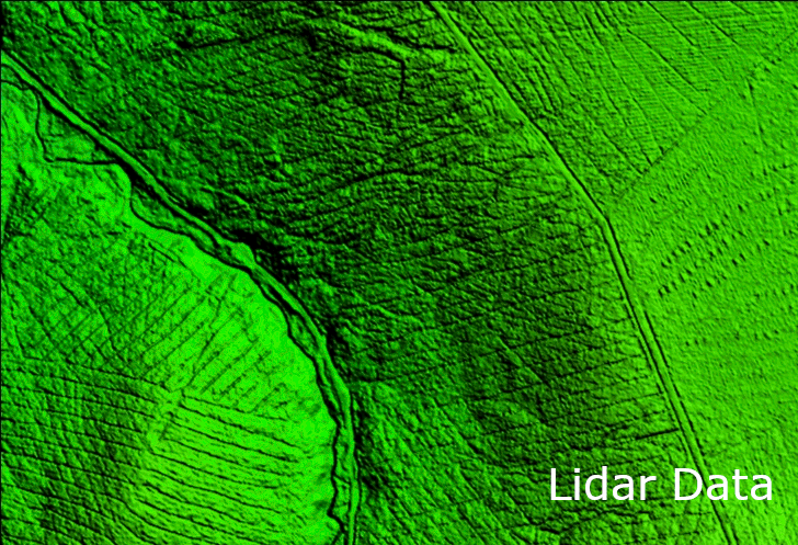
LiDAR and Digital Surface Models from Bluesky Aid Wind Farm Planning
An Irish hydrological consultancy firm is saving significant time and expense by using LiDAR datasets from Bluesky International, an...
Sep 8, 20222 min read


Bluesky Aerial LiDAR Survey Data Helps Farmers Apply for Carbon Credits
A new government funded project is using LiDAR data captured by aerial survey and mapping company, Bluesky International to identify...
Jun 22, 20222 min read


Bluesky LiDAR Survey Reveals More than 400 ‘New’ Archaeological Sites in AONB
A high precision terrain mapping project has revealed more than 400 ‘new’ archaeological sites in England’s first Area of Outstanding...
Jan 18, 20222 min read


Bluesky LiDAR Benchmarks Carbon Neutral Farming in Northern Ireland
A European Innovation Partnership project to accelerate the move towards net carbon zero farming is using specially commissioned LiDAR...
Oct 5, 20212 min read


Bluesky LiDAR Survey to Help National Trust Find the Lost Village of Wallington
Wallington © National Trust Images Andrew Butler The National Trust has commissioned aerial mapping company Bluesky to produce a highly...
Mar 4, 20212 min read


Bluesky Takes to the Air to Create First Ever 3D Map of Northern Ireland’s Coastline
Bluesky International will use aircraft mounted LiDAR sensors laser scanners to create a highly detailed 3D map of the whole of the...
Feb 3, 20212 min read


Bluesky LiDAR Used to Visualise Peatland Restoration on Royal Estate
Data collected from survey aircraft equipped with advanced laser scanners is being used by the James Hutton Institute to monitor the...
Jan 25, 20212 min read


Esri Ireland partners with Bluesky to enhance its digital mapping offering in Ireland
Esri Ireland, the market leader in Geographic Information Systems (GIS), is partnering with aerial mapping company Bluesky International...
Oct 23, 20202 min read


Bluesky Funds University of Leicester Study into use of LiDAR for Detailed Tree Analysis
Bluesky International is partnering with the University of Leicester to co-fund an advanced postgraduate degree study into the use of...
Oct 12, 20202 min read


Bluesky LiDAR Maps Help Landscape Partnership Champion the Past
Aircraft mounted lasers are helping to reveal the rich archaeology within Cranborne Chase Area of Outstanding Natural Beauty (AONB)....
Sep 25, 20202 min read


Bluesky Laser Maps Quantock Hills to Reveal Archaeological Past
Aerial mapping company Bluesky International is using state of the art, aircraft mounted lasers to create a 3D model of the Quantock...
Sep 7, 20202 min read


Bluesky Awarded LiDAR Contract to Map Wales from the Air
Aerial mapping company Bluesky International has been awarded a contract by Natural Resources Wales, on behalf of Welsh Government, to...
Feb 27, 20202 min read


Bluesky LiDAR Survey Helps Dublin Airport Plan Drainage Infrastructure and Reduce Risk of Flooding
Dublin Airport is using data collected by laser scanning aircraft to accurately measure land surface elevation to help reduce the risk of...
Aug 15, 20192 min read


Bluesky 3D Terrain Models Used to Upgrade Ambiental Risk Analytics’ Nationwide Flood Risk Map
3D models derived from high resolution aerial photography are underpinning the most up-to-date flood risk map of the UK. Working...
Mar 13, 20192 min read


Bluesky Aerial Survey Helps Malta Develop GeoSpatial Infrastructure
Aerial mapping company Bluesky has captured aerial photography and 3D map coverage of Malta. Working alongside tender lead IIC...
Jul 31, 20182 min read


Bluesky LiDAR Supports Major Irish Water Supply Project
Detailed 3D data captured using aircraft mounted laser is helping RPS plan, design and engineer a major overhaul of water supplies in...
Apr 27, 20181 min read


Bluesky Remote Sensing Data Improves Efficiency for Smart Consulting at WSP
WSP, the global company providing management and consultancy services to the built and natural environment, is using a range of remotely...
Jan 23, 20182 min read


Bluesky Laser Maps Help ArcHeritage Reveal Hidden Treasures for the National Trust
3D maps created from aircraft mounted lasers are helping the National Trust uncover secrets at the historic Canons Ashby estate in...
Aug 9, 20172 min read


Bluesky Launches Nationwide Map of Building Heights
13 July 2017 – Aerial mapping company, Bluesky, has launched the first nationwide map providing accurate height measurement for around 40...
Jul 13, 20172 min read


Bluesky LiDAR Helps Mott MacDonald Bentley Create Flood Alleviation Model for Yorkshire Water
Detailed terrain maps created from aerial surveys using lasers are helping to improve flood prevention and management across Yorkshire....
Jun 2, 20172 min read
bottom of page